Ecuador 1.0
Project: Remote sensing as surrogate for phylodiversity and functional processes along land use and elevation gradients
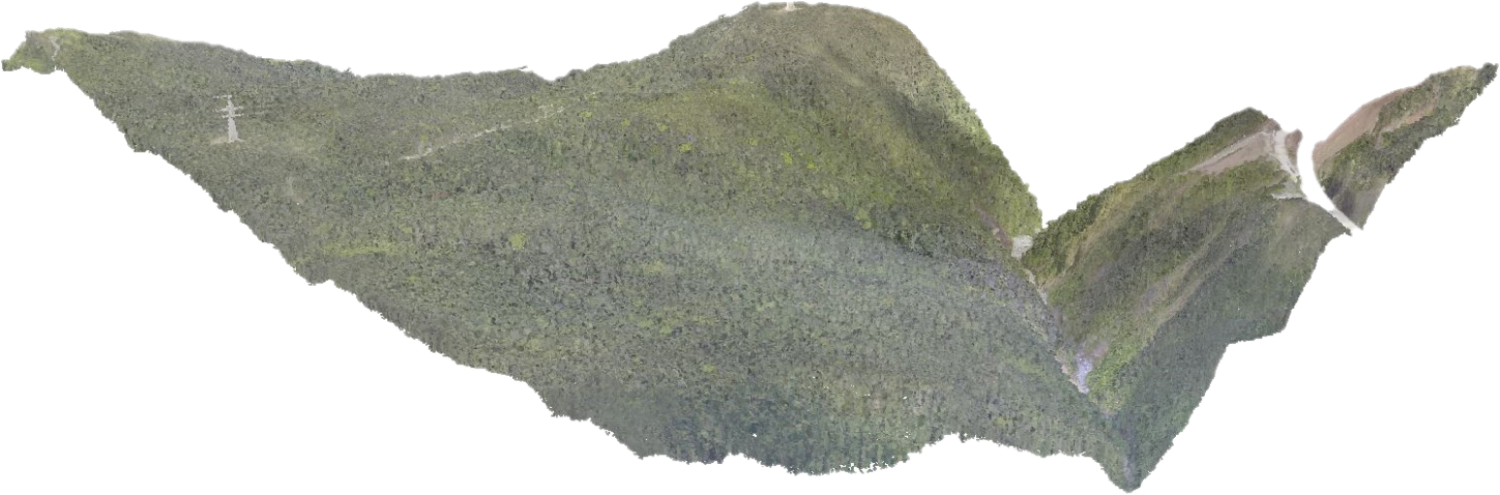
Within my PhD project I analyzed the potential of multispectral remote sensing data to model taxonomic and functional aspects of biodiversity in a tropical mountain rainforest in southern Ecuador. In particular, vegetation indices from multispectral data and their textural information were used. For this purpose (i) different taxonomic groups and diversity measures (e.g. alpha/beta diversity) were investigated, (ii) a comparison to topographic metrics was made, and (iii) sensor data with high and moderate spatial resolution were considered.
Check out the results, here, here and here!